On the 28th of September 2022, then Queensland Premier, Annastacia Palaszczuk, stated Queensland was facing a “climate emergency” and a “bold vision was needed”.
The Premier announced a $62 billion Queensland Energy and Jobs Plan that included:
- 70% of Queensland’s energy supply from renewables by 2032
- 80% by 2035
- Two new pumped hydros at Pioneer/Burdekin and Borumba Dam by 2035
- A new Queensland Super Grid connecting solar, wind, battery and hydrogen generators across the State.
- Unlocking 22GW of new renewable capacity – said to give 8 times the current level.
- Publicly owned coal fired-power stations to convert to clean energy hubs to transition to, for example, hydrogen power, with jobs guarantees for workers.
- Queensland’s publicly owned coal-fired power stations to stop reliance on burning coal by 2035.
- 100,000 new jobs by 2040, most in regional Queensland
- 11.5GW of rooftop solar and 6GW of embedded batteries
- 95% of investment in regional Queensland
- Building Queensland’s first hydrogen ready gas turbine
- Projects subject to environmental approvals
This was the first time that the majority of the Queensland public had knowledge of the renewable energy zone (REZ) plans.
While renewable energy is needed to help combat climate change, the right type and location is vital.
The Department of Energy and Climate published the below interactive map of the planned REZ’s, transmission lines and other associated infrastructure. It revealed that the entire Queensland eastern coastline and mountain ranges have been targeted.
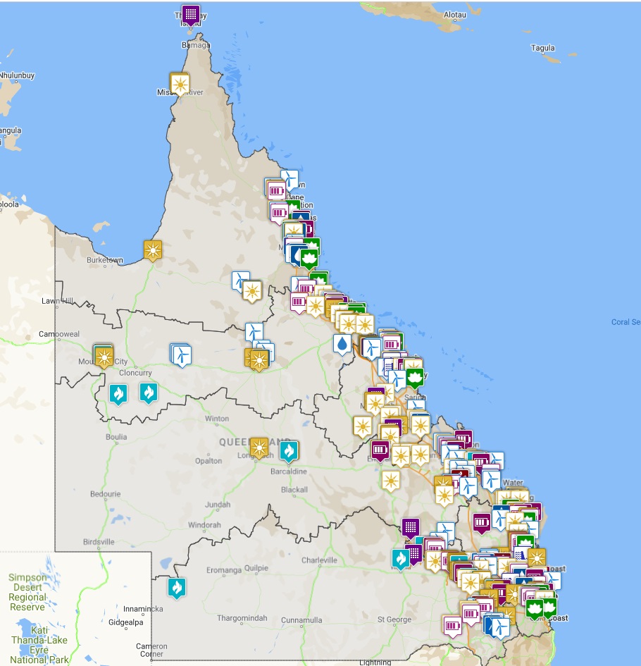
On further examination, it became obvious to earth science specialists, conservationists, wildlife, environmental and nature lovers, that multiple proposed REZ’s would heavily impact, and in some cases, destroy biodiversity, core and critical habitat, impact National Parks, cause the further decline of the Great Barrier Reef, Ramsar Wetlands, the Great Dividing Range, threatened and endemic flora and fauna, pristine waterways, migratory species and so much more.
A worrying image of what had been planned and kept secret from the public slowly started to emerge. Queensland’s internationally acclaimed environment and wildlife is under serious threat.
One project in particular drew immediate attention purely because of odd political statements. The Pioneer Burdekin Pumped Hydro peaked interest, raised immediate red flags, and sent a shudder through both the national and international environmental and wildlife communities, due to its location designated as a potential World Heritage Area.
Political statements at the time, did not appear to be based on fact or completely transparent. For example, “the scheme [Pioneer Burdekin Pumped Hydro] would not result in any inundation of National Parks.” While the project is not in the National Park, the power station, pump house and tunnels connecting the reservoirs would be located underneath Eungella National Park which we believe may impact, along with downstream impacts. Another troubling statement “the majority of the land involved is existing cattle grazing or sugar cane farming land”. While part of the site was cleared for logging at the turn of the century, much of that area now contains high value rainforest regrowth, along with the original rainforest.
The land zoning is agricultural. It as never been zoned or contemplated for a large scale industrial facility as proposed, and never should be. In fact, it is mapped as a state significant biodiversity corridor. The project site is surrounded by Eungella National Park. The biodiversity buffer zones for this park are 300m in width. The proposed upper reservoirs intrude into this biodiversity buffer zone.
The proponents of the project argue this project would reduce greenhouse gases, but should this be at the net loss of biodiversity?
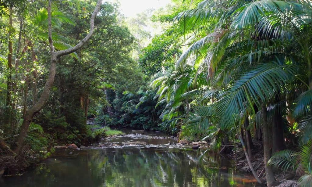
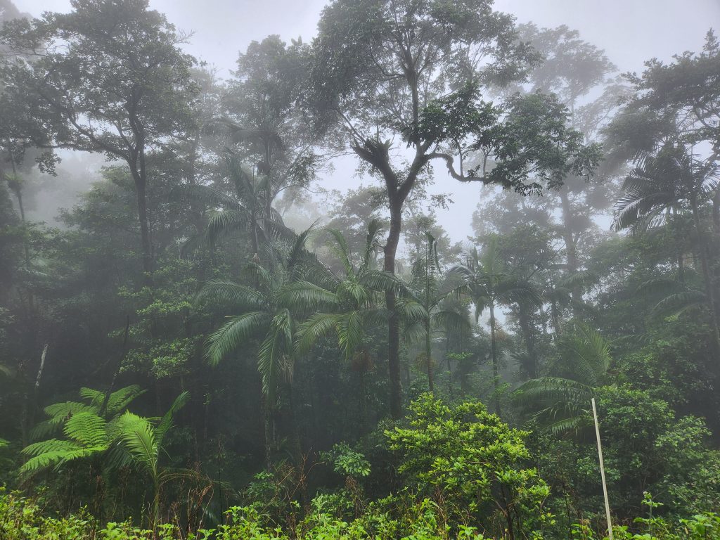
Targeted remanent rainforest area within the footprint of the proposed Pioneer Burdekin Pumped Hydro in Dalrymple Heights.
The proposed Pioneer Burdekin Pumped Hydro project has been exuberantly touted by politicians as the “biggest pumped hydro in the world”, approximately 80km’s west of Mackay, in the townships of Netherdale (lower reservoir), Dalrymple Heights (upper reservoirs at a height of 920m within rainforest and immediate proximity (< 20 meters) of the National Park), with impact zones including Eungella and surrounding area’s.
Within these areas live a community of landholders, retiree’s, people who had chosen to raise their young families, business owners, close enough to the “big smoke”, far away enough to live in peace. Surrounded by a very unique environment, mountains and valleys, lush rainforest, cloud forests, crystal clear waters, high biological diversity, the renowned Eungella National Park and Clarke-Connors Ranges.
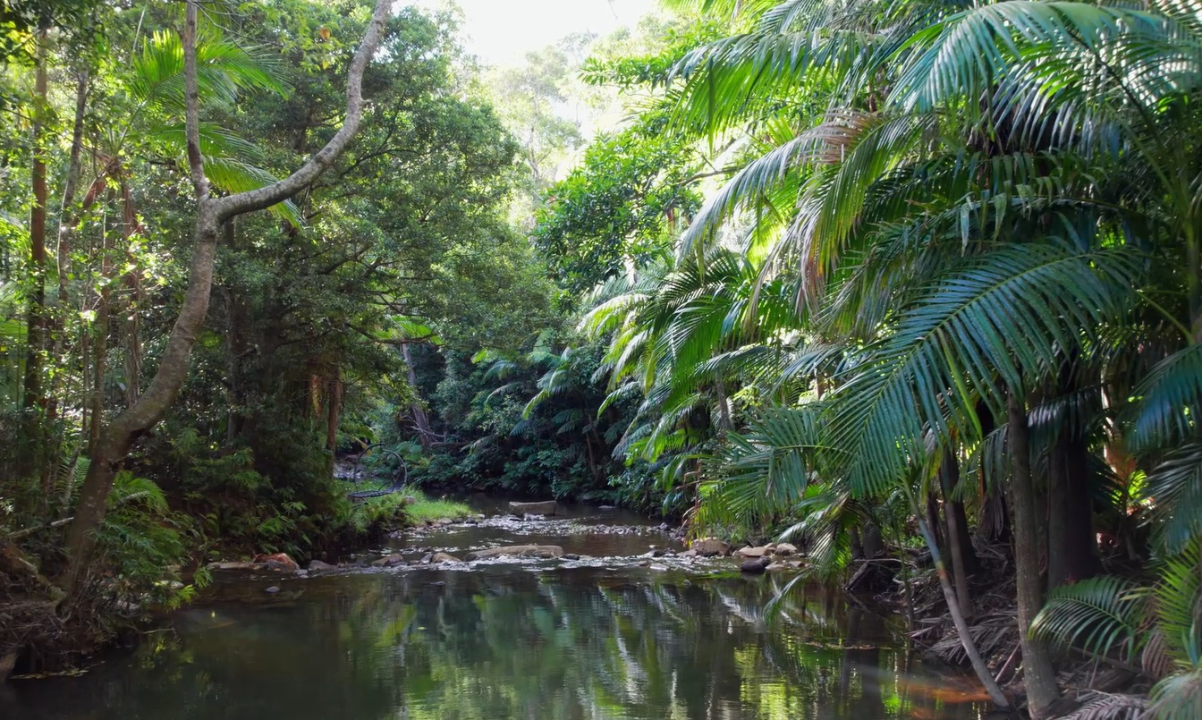
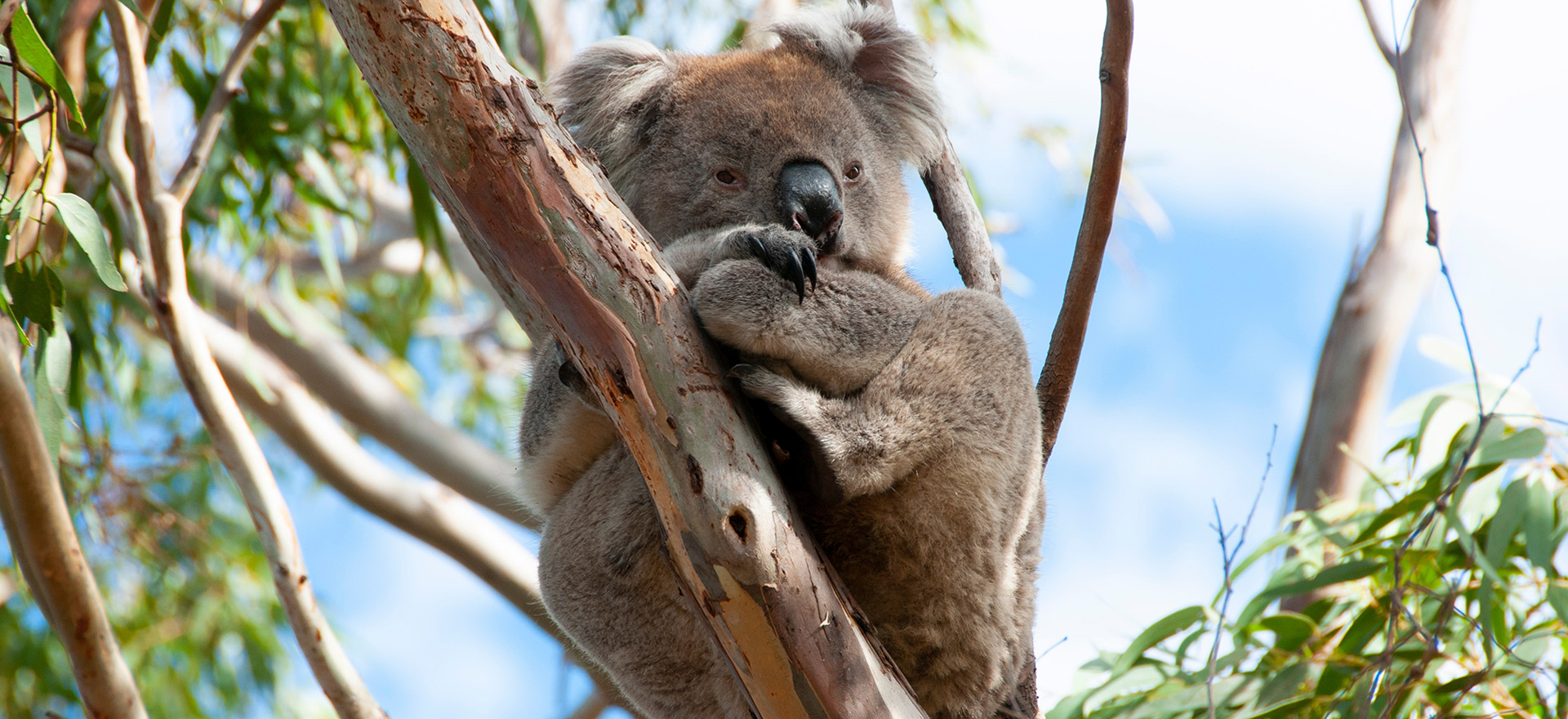
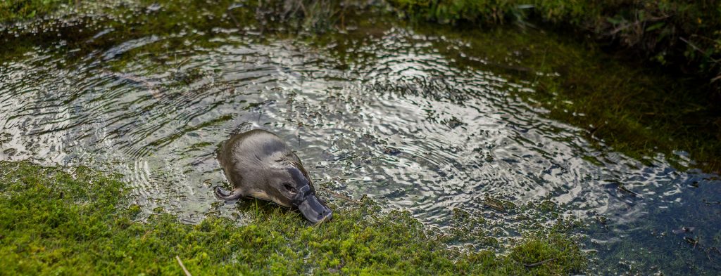
It is also the location of some of the most threatened and protected species in Australia, vast numbers of endemic species, an ancient rainforest 20+ million years old, it is a transition zone between the northern tropics and southern Queensland, and a location for migratory species. This is a water fed environment listed at the highest level of water conservation. Broken River in Eungella, flows into the Bowen River tributary, which runs into the Burdekin River before turning to the east coast, and becoming an important fresh water and sediment source for the Great Barrier Reef. This water would be impacted. At Eungella, Cattle Creek has two branches flowing off the great eastern escapement which connects into the Pioneer River. Cattle Creek is a recharge source for the Pioneer River but would be impacted/trapped by the lower dam.
The region has been studied and visited by distinguished scientists, environmentalists, conservationists, earth science students and nature lovers, both national and international. In this location, scientific studies have been carried out over decades in this location, resulting in notable publications including “The Land of the Clouds” (Kitching, 2012), the subsequent “The Land of the Clouds Revisited” (Kitching, 2020) and the stunning coffee table book “Land of the Clouds, Eungella” (2021, Queensland Museum).
We have heard much from the Minister of Climate and Energy and the current Premier, but the environmental community is puzzled by the lack of public input from the Environmental Minister.
This is unlikely to be a sustainable project given the information so far.
By the first week of October 2022, landholders in the Eungella area community, (and across Queensland targeted for REZ’s) received notices indicating that their house and land may be resumed for these projects.
The quick succession of the announcement and notice shocked Qld communities to their core.
Social Impact
We asked community members to share their reaction to this initial news. The following statements reflect their dismay.
- “Shocked and dismayed”,
- “Nearly passed out”,
- “Burst into tears”,
- “Thought I was having a heart attack”,
- “Gobsmacked”,
- “Disbelief”,
- “Thought it was a joke”,
- “Anger”,
- “Confusion”,
- “Deep concern that led to sleepness nights requiring time off work”.
- “Suicidal thoughts” and
- “Horrified at the thought of destruction of such a beautiful place”
The original AMEO study advising on locations suitable for pumped hydro projects, stressed the need for comprehensive social and environmental studies before final location selections were made. It is obvious that alot more needs to be done.
The community was not provided with the necessary funding to appoint their own independent environmental advisers, and looked for outside help. They have had to rely upon volunteers with the expertise to assist. We accepted to help the community and are in the process of amalgamating the information and data recieved, and have found that it is far more than recieved from the State Government corporation for pumped hydro projects, Queensland Hydro.
For the past year, we have worked with a small group of community members to survey flora and fauna within the footprint, and endeavor oversight of the project. Our findings confirm our beliefs, there will be impact heavily upon the project area and beyond. We will be publishing a report before the end of the year.
Main points for the report
- Biodiversity loss that cannot be offset.
- No legislated planning guidelines available yet – no EIS can be done without a regional plan. The current legislative documents do not provide guidelines for a project of this nature in this location.
- Location is next to a massive protected area that acts as a climate change refugia
- No warning for the landholders and residents
- Project is designed to reduce emissions for climate change, but there would be to be great loss of biodiversity.
The importance of protecting this ancient climate change refugia, which meets World Heritage criteria is imperative.
Un-costed, unsustainable development is not acceptable in Queensland.
